Disclaimer: I am writing this post for anyone looking for details on the Valdez Goat Trail hike and find themselves coming up short. Nothing written here is official or approved. Just what I’ve pieced together from the hodge-podge of information I found from sources online, local brochures, the AllTrails app, and Lonely Planet.
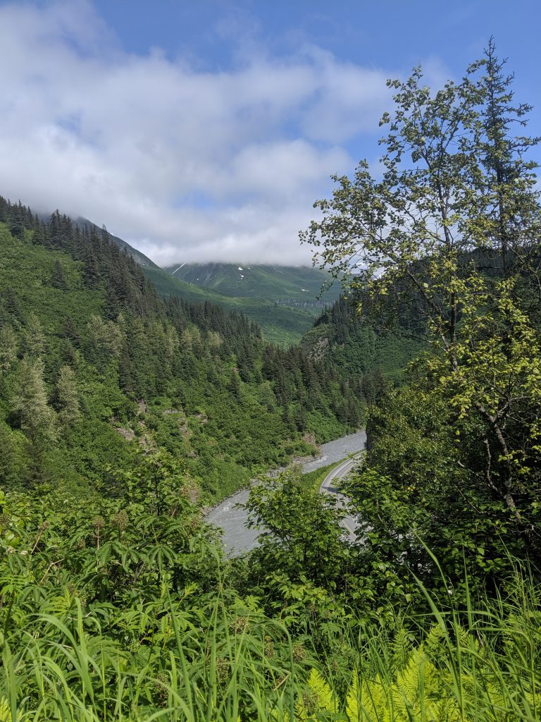
Valdez Goat Trail is also sometimes referred to as Bridal Falls Trail, Wagon Trail, or simply Goat Trail and branches off from the Keystone Canyon Pack Trail which starts at mile marker 12 along the Richardson Highway (AK-4) and crosses Horsetail Falls Creek via foot bridge before eventually meeting up with and turning into the Valdez Goat Trail at mile marker 13.5. The trailhead is located just before Bridal Falls on the Left if traveling North from Valdez on Richardson Highway (AK-4) or just after Bridal Falls on the Right if traveling South toward Valdez. If you have approached Horse Tail Falls while traveling South, you have gone too far and if you have approached Horse Tail Falls while traveling North go just a bit further and park in the next vehicle pull-off on the Left. The trail head is closer to Bridal Falls than Horse Tail Falls but can be reached easily from either vehicle pull-off. Make sure to take pictures and admire both falls– they have earned their popularity!
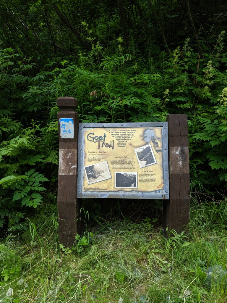
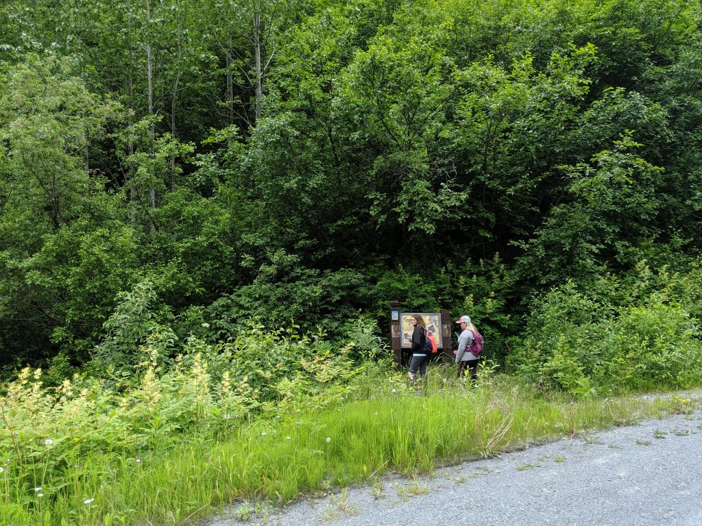
The trailhead for the Goat Trail is marked by a placard located in the ditch on the side of the highway and is mostly covered by trees so it is not visible from the road. You come upon it only after you start walking down toward the canyon wall. There are a few placards and signs early on explaining the history of Bridal Falls and showing Pack Trail Left and Goat Trail Right. My friends and I continued Right.
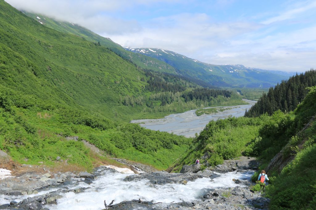
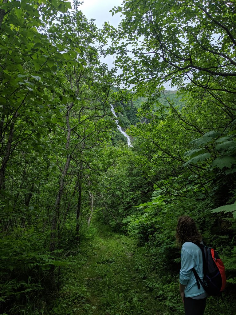
It was a wonderful choice! At roughly 800ft elevation over roughly 2.3miles, the trail is well maintained, easy to follow, and easy to moderate in difficulty. There are a few narrow sections that have a steep drop to one side but all areas of the trail are easily traversed and are at least one person’s width. Along the way are two lookouts, one with a view of the unfinished railroad on the opposite side of the street– but be cautious, this drop would be unforgiving! The trail ends as you open up to the middle of one of the many waterfalls visible from the road. I don’t advise attempting to cross the waterfall as it is quite wide and the current is very strong. But scrambling up a ways is possible for even better landscape views and selfies.
Leaving plenty of time for selfies and safe travels with a small dog, this trail takes roughly 2-3hrs roundtrip. If eager to get ‘er done, one could make it out and back in probably 1.5-2hrs. My friends and I were pleasantly surprised by the jungle feel of this hike, the vistas, and the waterfall at the end. Bring lots of bug spray and be prepared for a muddy patch here and there. High on my list of favorite hikes in Alaska so far! Check out my prior blog for details on the others I’ve done. Hope this helps and ENJOY! 🙂
The trail from Richardson Highway 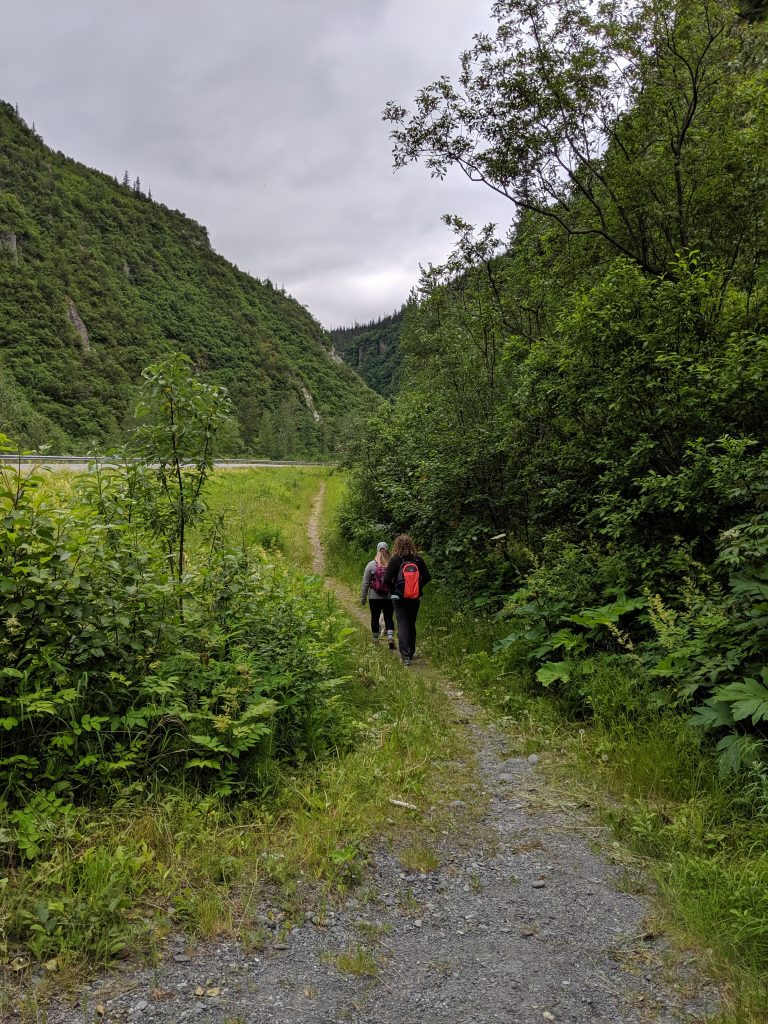
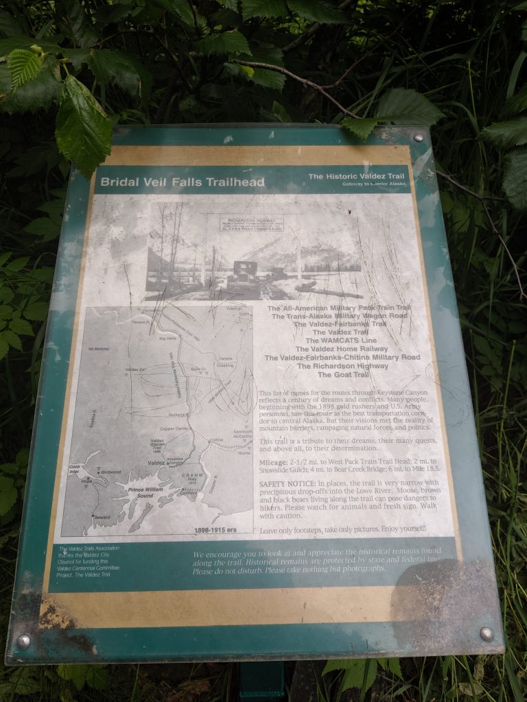
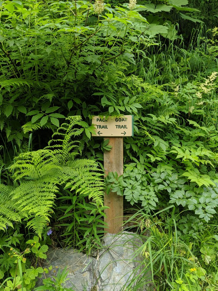
Pack trail – Goat trail 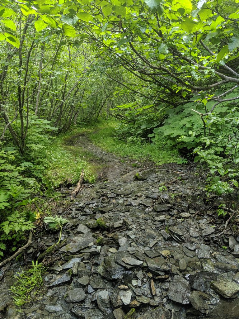
Valdez Goat Trail 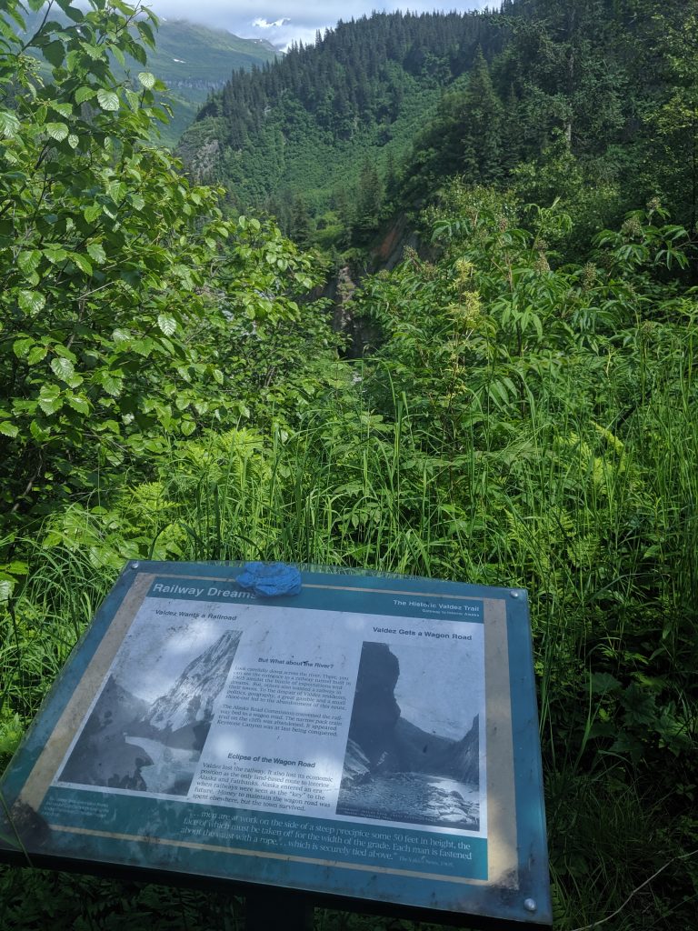
Railroad below! 
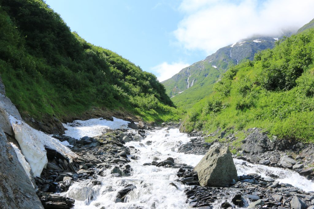
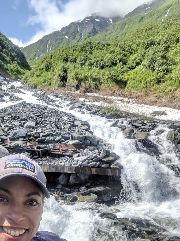
Waterfall at the end of the rainbow